Great Long Pond, MDI
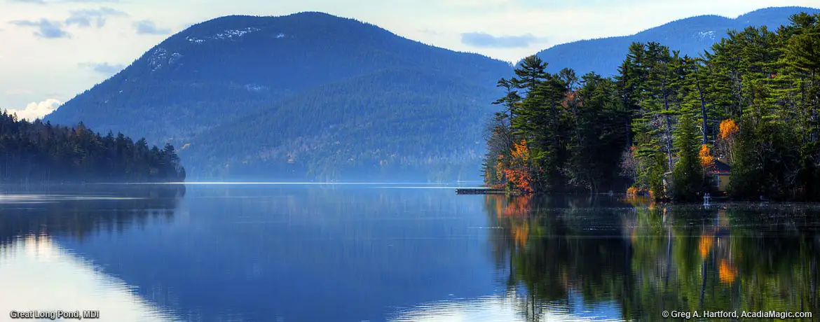
Long Pond, located in the western sector of Mount Desert Island, is sometimes referred to as “Great” Long Pond. This helps distinguish it from the much smaller Long Pond located in Seal Harbor. Much of Great Long Pond's shores are on Acadia National Park land. It has a maximum water depth of 113 feet. Boats and fishing are allowed although, a fishing license is required for Maine residents 16 years or older and for nonresidents 12 years or older. The view in the above image is from the eastern shore looking southwest toward Mansell Mountain.
The Land Viewed from Above
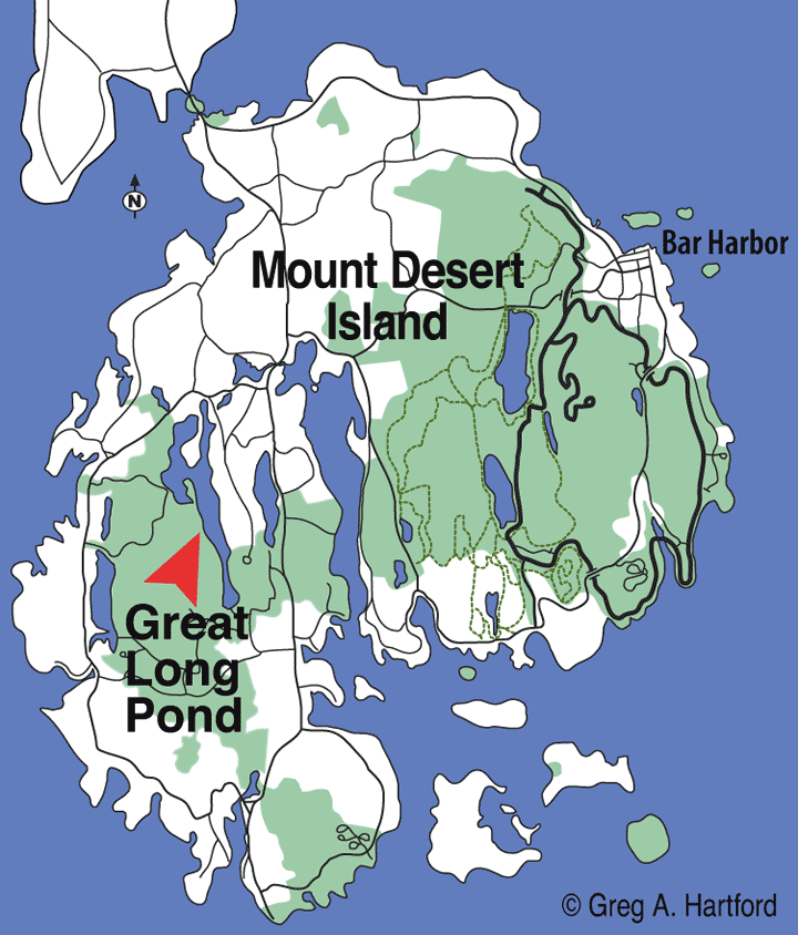
If we viewed Mount Desert Island from the air or referred to the Mount Desert Island Map below, we would see north and south aligned gouges scooped out of the land as if by a very large hand. Indeed, in this case, the figurative hand was that of a huge, slow moving continental glacier over a mile high,... as much as 2 miles thick in some places, that compressed and scrapped the land underneath its tremendous weight. When this massive glacier eventually retreated and melted, it left the land with rounded mountain tops, millions of boulders, and elongated lakes and ponds such as the nearly 4 mile long “Great” Long Pond.


Western MDI
Most of Great Long Pond is located in the township of Mount Desert which includes the Village of Somesville at the top of Somes Sound, the ocean inlet that juts up into the central part of the island. The lower southern portion of Great Long Pond is in the municipality of Southwest Harbor, referred to as being on the “Quiet Side” of Mount Desert Island. Easy access is gained at the northern end of Route 102 where the road splits and one part heads directly West before turning South. You will see this on the MDI map just southwest of Somesville. Right near this location is a business that rents Canoes and Kayaks for convenient use on the pond.
GPS & Other Information
Here is some additional information that will be useful to save or take note of. Print this page if needed.
- Great Long Pond GPS: (North side) Latitude 44.354726; Longitude -68.362856
- Cold Water Fishing: Landlocked Salmon
- Warm Water Fishing: Smallmouth Bass, Chain Pickerel
- Acadia National Park Fishing Regulations
- Additional Stats on Ponds and Lakes in Acadia
- Maine Department of Inland Fisheries: (207) 434-5925
- Wildlife Division: (207) 434-5927
- National Park Headquarters: (207) 288-3338

Often Tranquil Setting
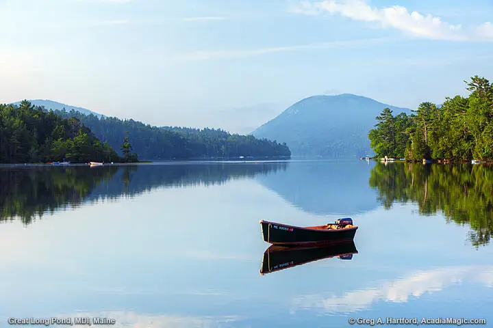
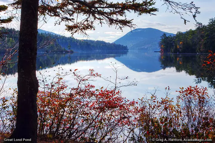
This is a gorgeous spot, especially early in the morning or late afternoon on a calm wind day. If you want wave action, head to Seawall or Schoodic on the mainland. If you want an often tranquil or peaceful setting to relax, put in a kayak or canoe, or sit and talk or meditate, give this spot a try. It is real easy to find and the road goes right beside the eastern shore. Just get the map graphic in your mind and remember it is just west of center in the mid section of Mount Desert Island in the Village of Somesville. One great convenience is that there is a kayak and canoe rental place right across the street from the landing. Take note that there is also the smaller Somes Pond a short distance to the northeast of here.