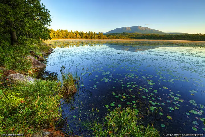
Mount Katahdin Photo Gallery 21
This Mount Katahdin Photo Gallery shows 5,269 foot high Mount Katahdin and Compass Pond in north-central Maine, part of Piscataquis County. Each of the following “numbers” represent a page of 9 photos. View Mount Katahdin Panoramics.
Next: 1 | 2 | 3 | 4 | 5 | 6 | 7 | 8 | 9 | 10 | 11 | 12 | 13 | 14 | 15 | 16 | 17 | 18 | 19 | 20 | 21 | 22 | 23 | 24
Mount Katahdin & Compass Pond
Mount Katahdin in Baxter State Park, Maine is well known for being at the far northern end of the Appalachian Trail which begins way to the south at Springer Mountain in the State of Georgia. The challenging 2,180 mile journey has been on the bucket list of many but less, have made the entire trip. I have met several people near Mount Katahdin who had finally reached their destination. They have many interesting stories to tell and deserve a lot of credit for fulfilling their dream and goal. Even though you may not be making the hike, I highly recommend taking a drive to the North to experience the beauty of this wilderness area. There is nothing quite like it. From Bar Harbor, you would go to Bangor, then I-95 North to Millinocket, then northwest to Baxter State Park or the Golden Road. You just might get to see a moose!


